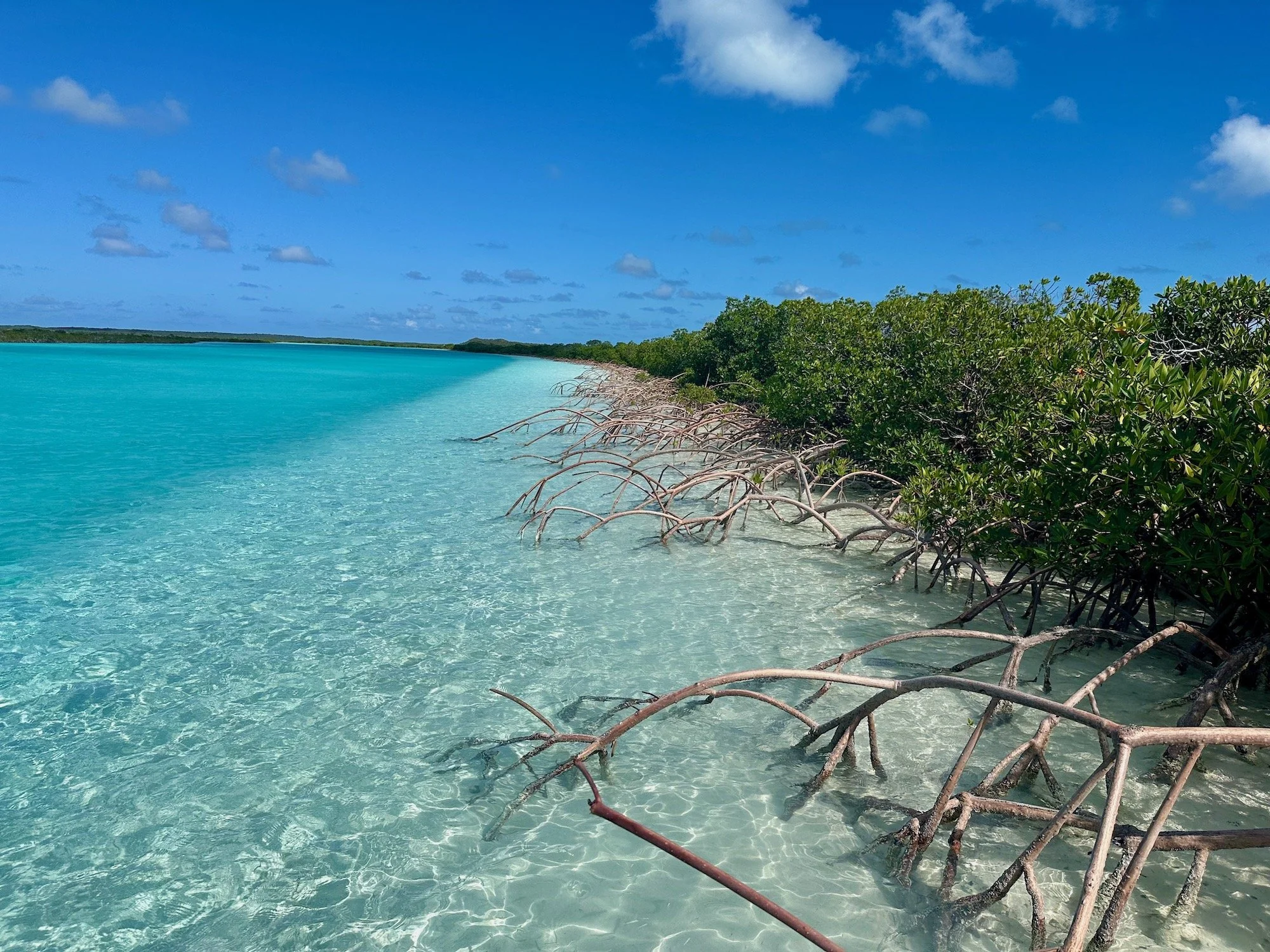
Cat Island cradles 5 pristine Marine Protected Areas of 258,000 acres
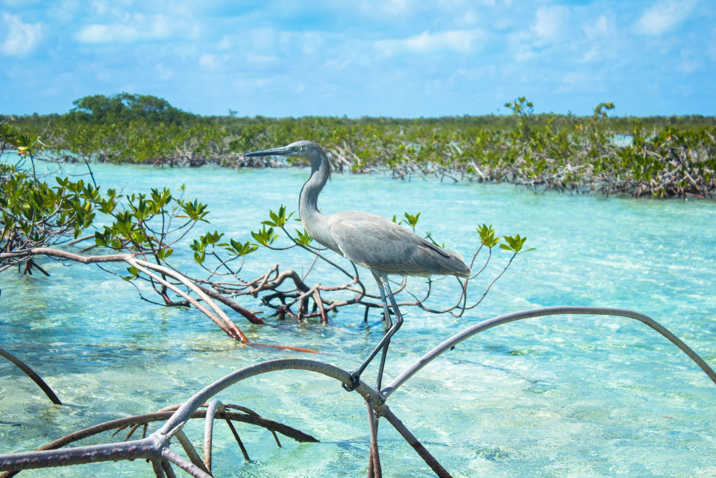
The Bahamas Government has committed to protecting 20% of its shoreline through a system of Marine Parks and MPAs, with protection well advanced on many Family Islands. Cat Island United has partnered with the Department of Marine Resources and local stakeholders to manage these resources for conservation, restoration and economic livelihoods . This initiative will kick off in 2027 with the mapping and identification of areas for restoration in the Fernandez Bay/Armbrister Creek/Joe Sound Marine Protected area.
CAT ISLAND MARINE PROTECTED AREAS
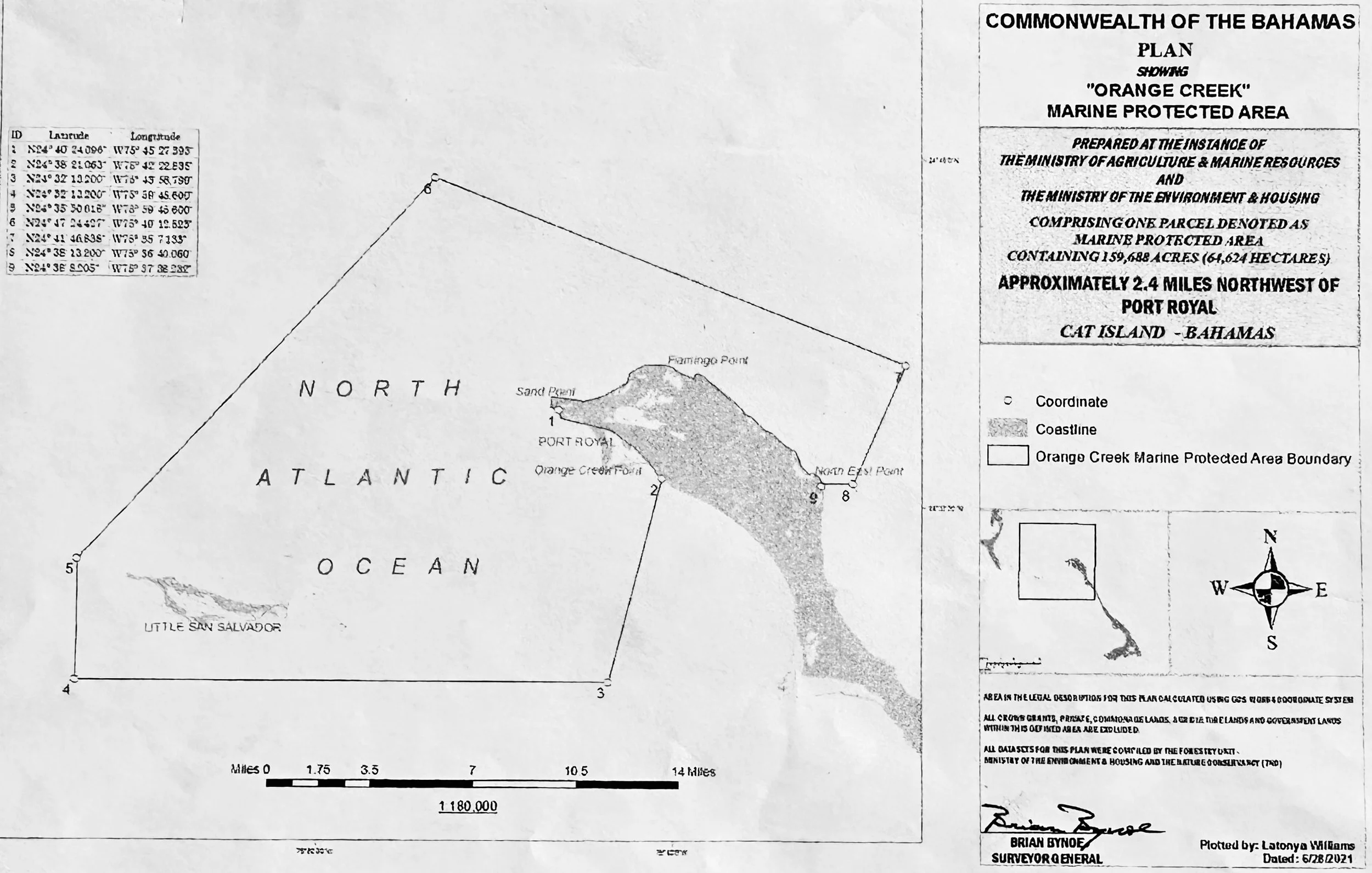
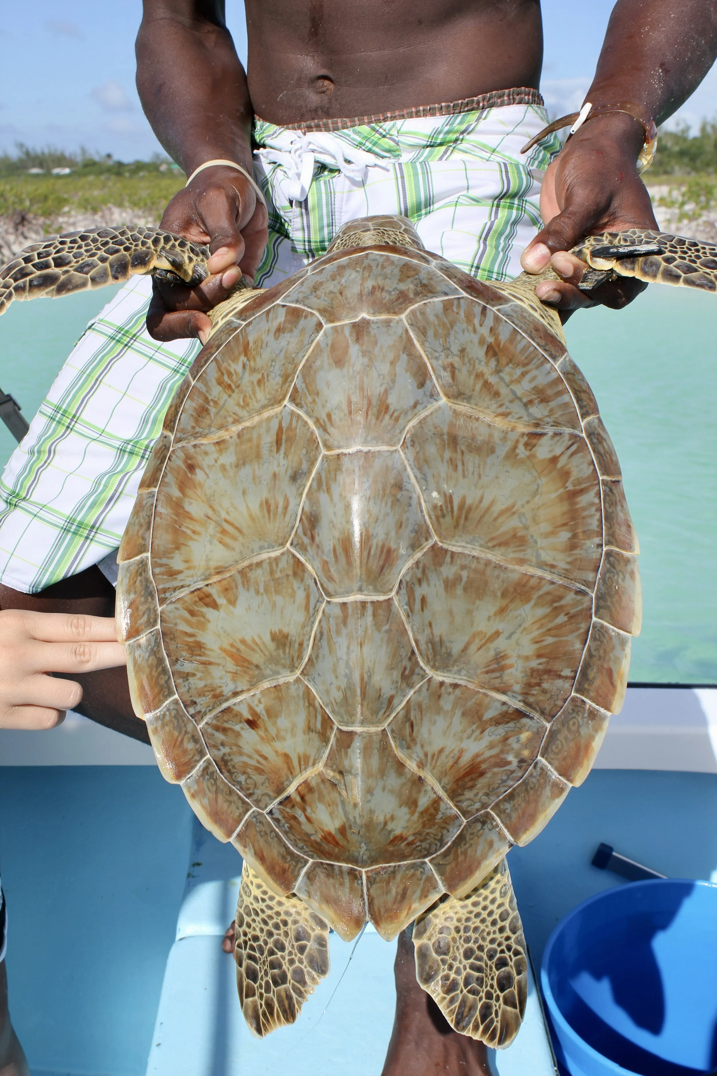
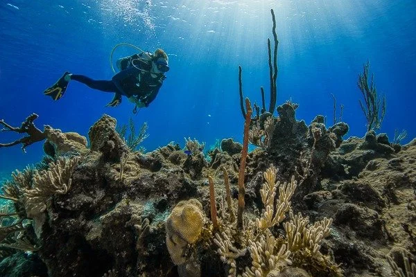
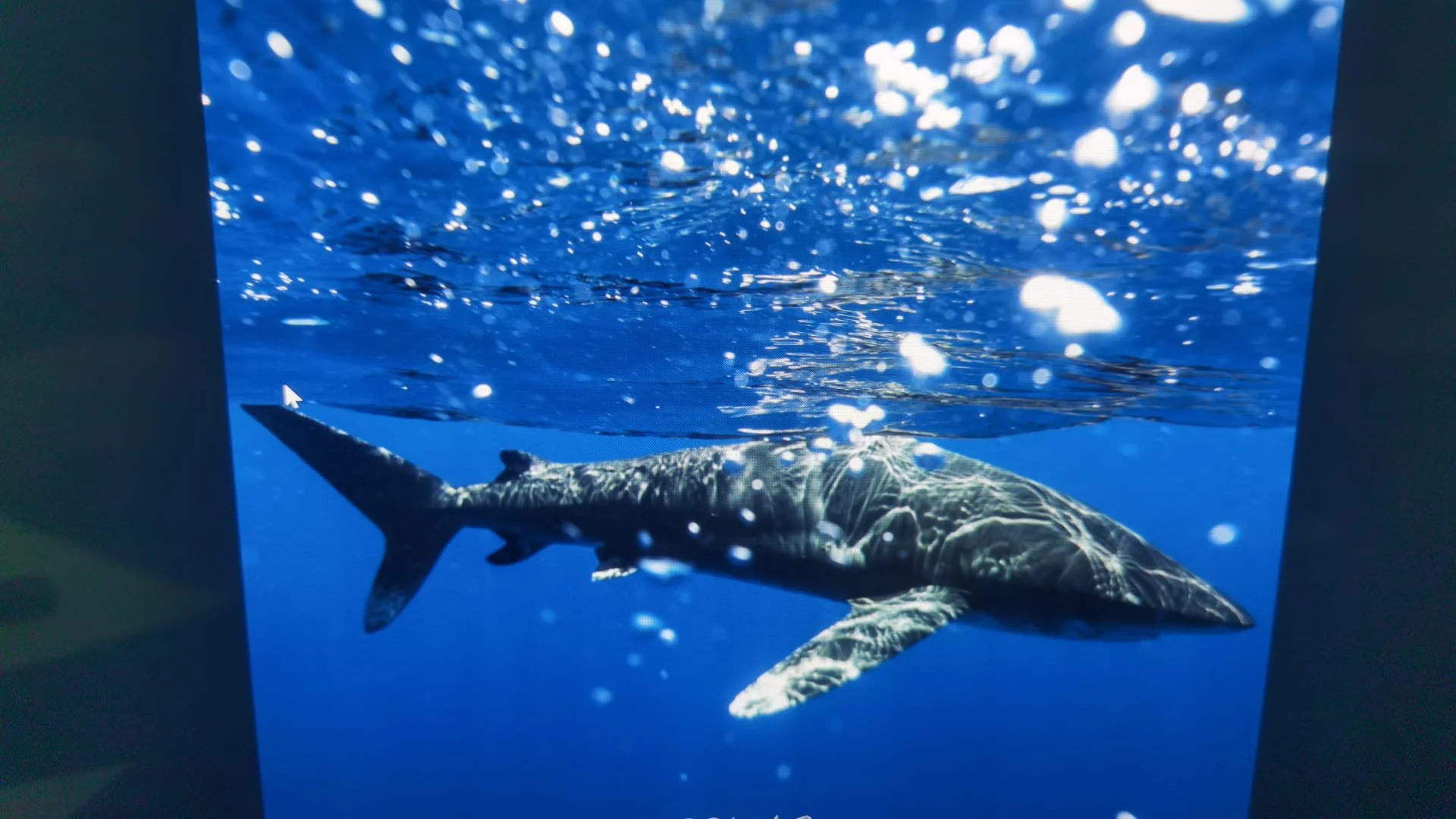
Encompasses the northern tip of Cat Island, including Port Royal, Flamingo Point, Goat Cay and Little San Salvador. The largest of the MPAs at 160,000 acres, it encompasses mangrove creeks, Green Sea turtles, manta rays, coral reefs, sharks, spawning aggregations and pelagic fish.
Alligator Creek/Bennetts Creek
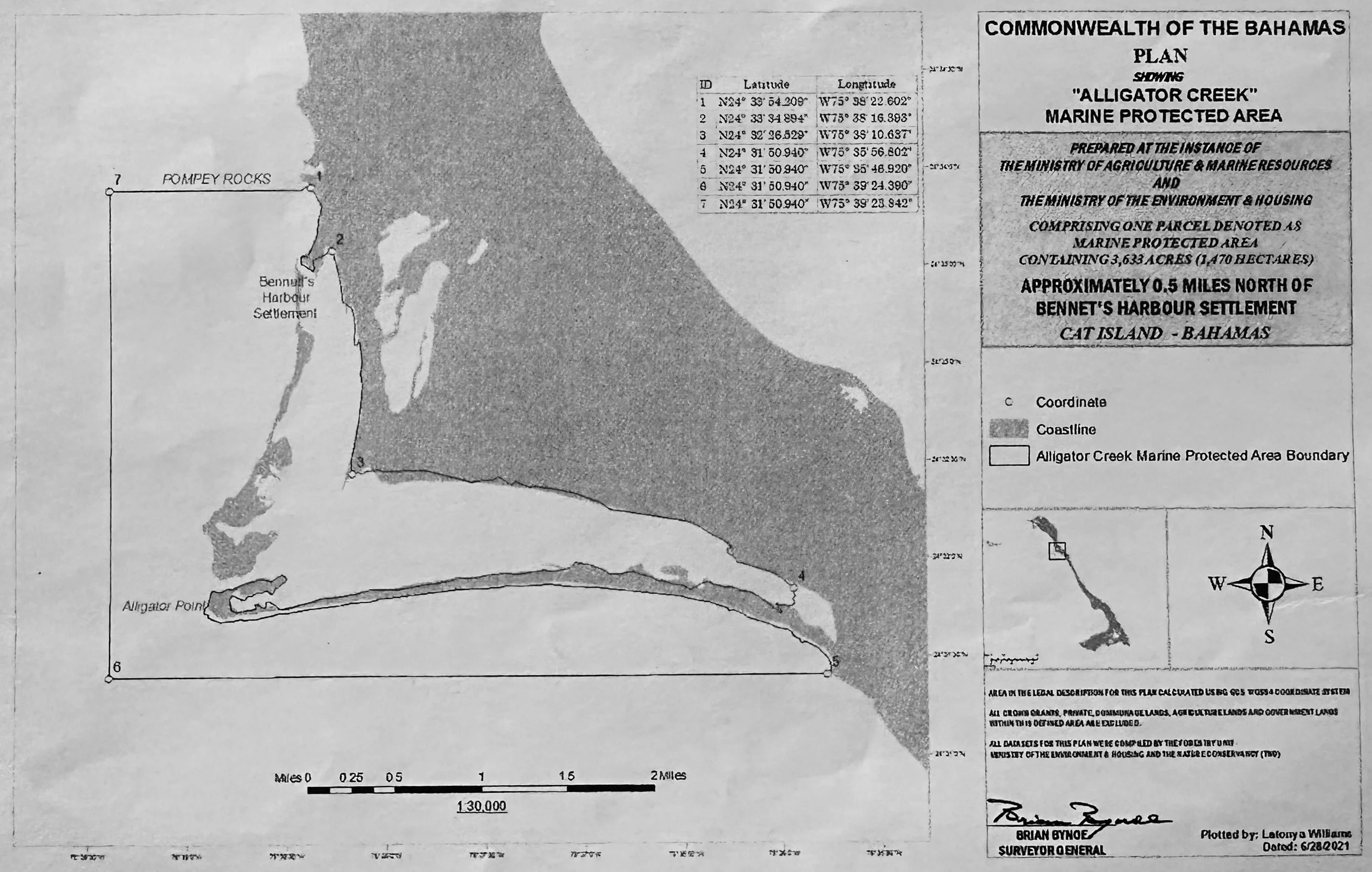
A naturally protected, pristine area of 4,000 acres with plentiful green sea turtles, bonefish, rays, sharks, herons, osprey and fish nurseries.
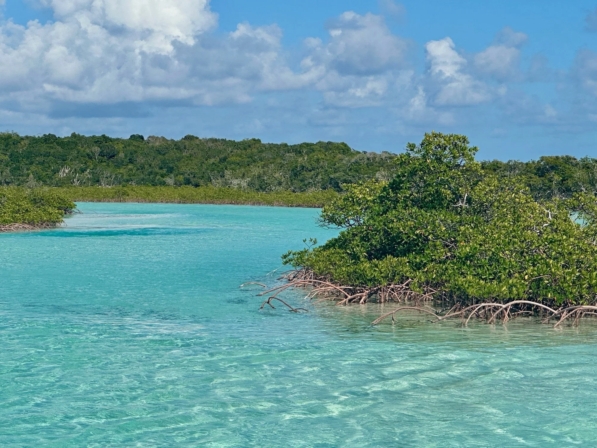
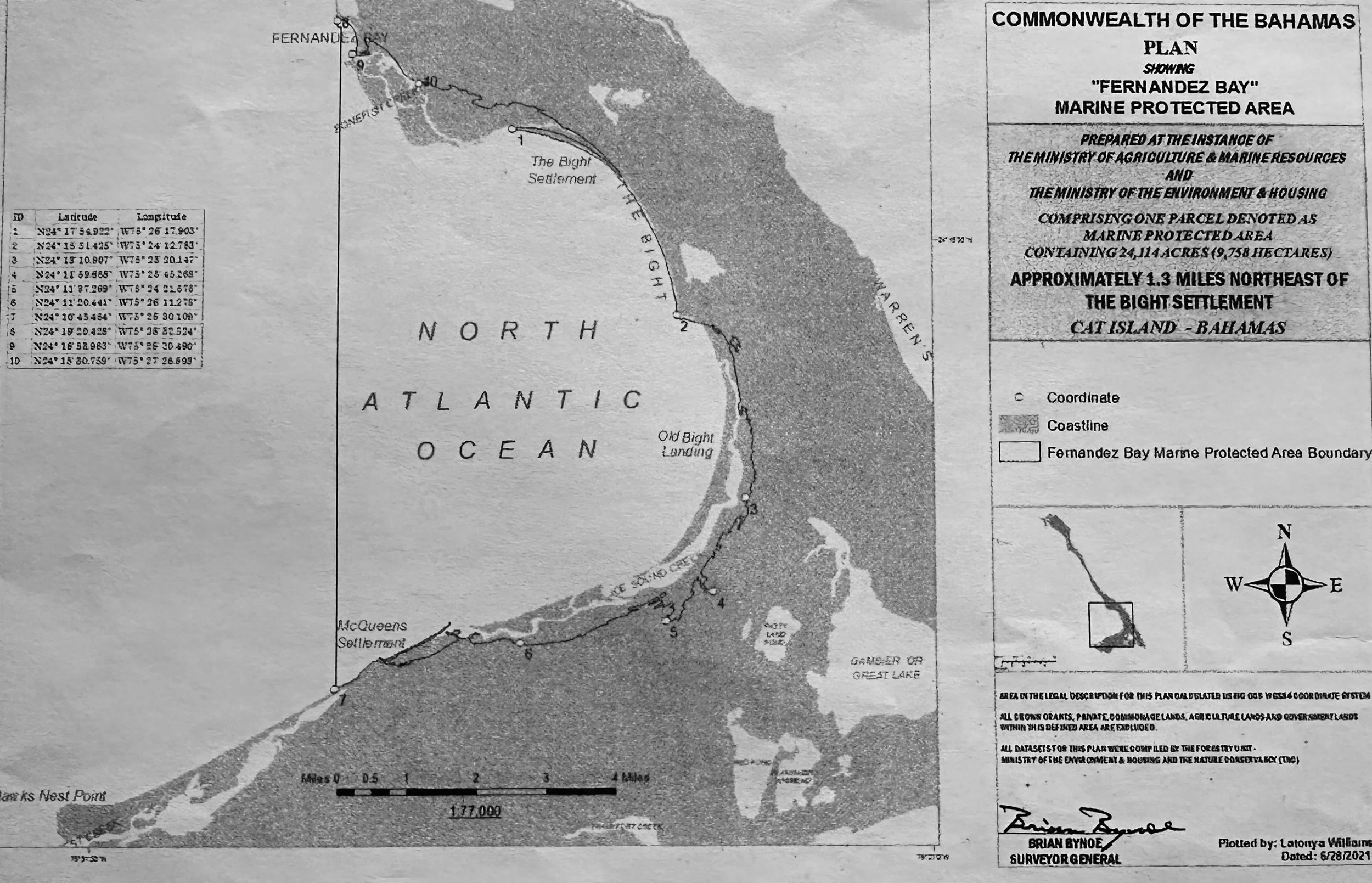
Fernandez Bay/Joe Sound/ Armbrister Creeks run between New Bight and Old Bight
Orange Creek/Port Royal/San Salvador in the far north
“Fernandez Bay” tri-creek area encompasses 24,000 acres and is home to green sea turtles, bonefish, permit, tarpon, triggerfish, snappers, jacks and fish nurseries.
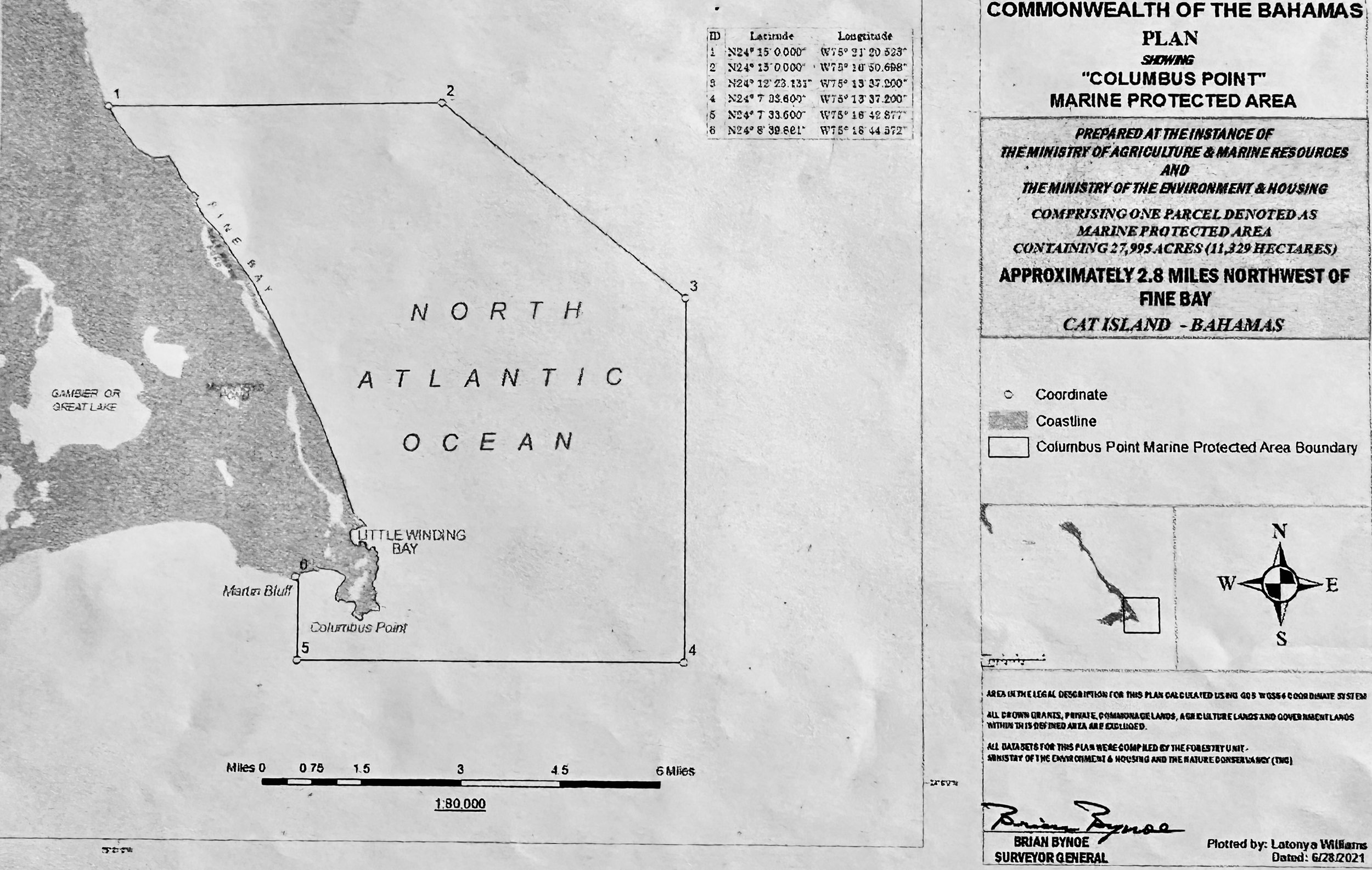
Columbus Point is the southeastern tip
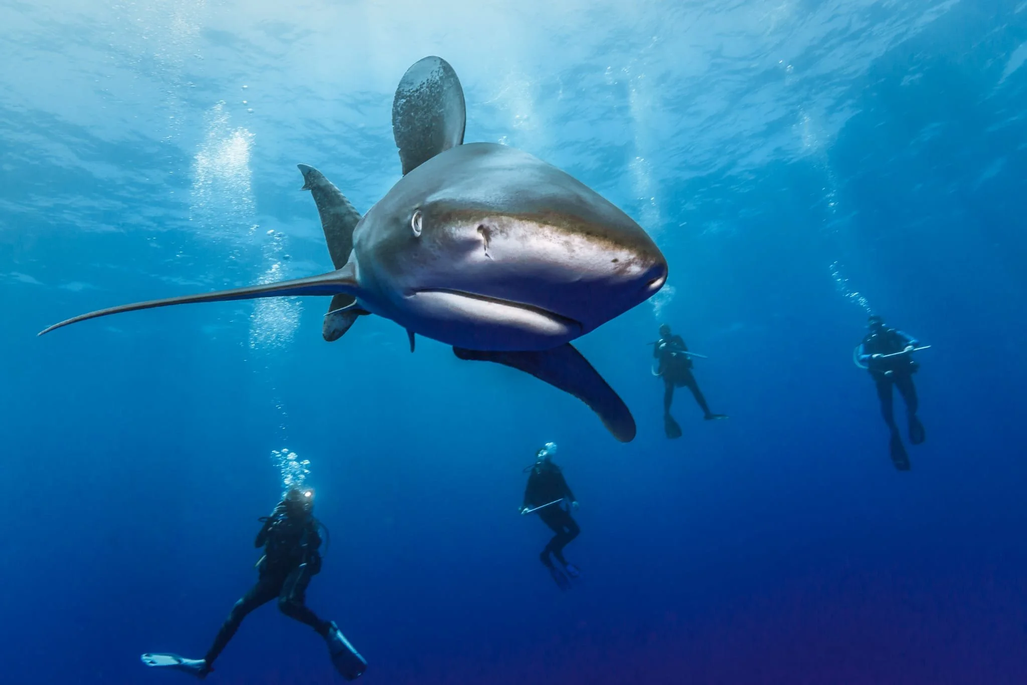
Wrapping around Columbus Point on the southernmost tip, it spans 28,000 acres and is home to white tail sharks, coral reefs and peliagic fish.
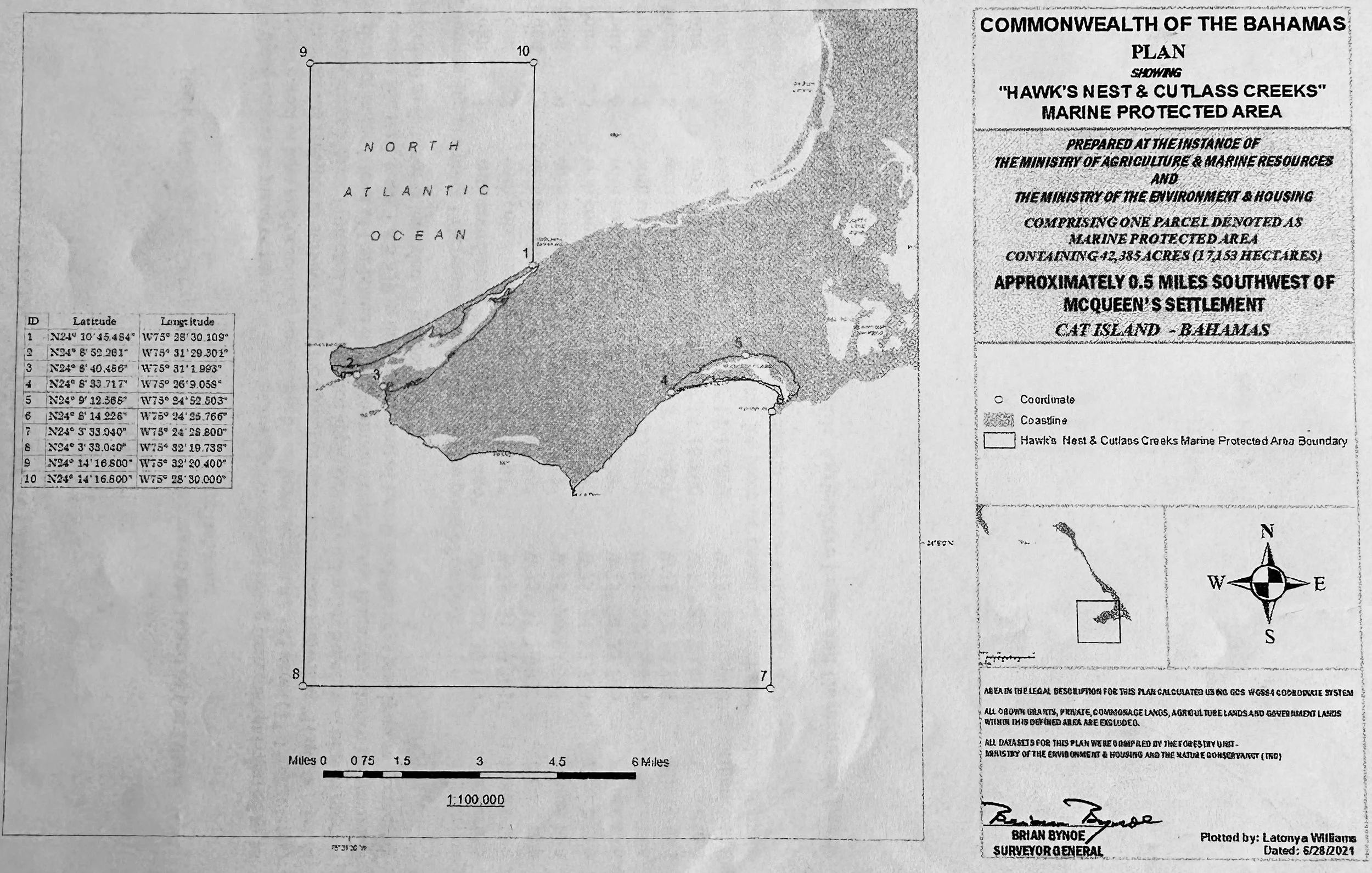
Hawks Nest/Cutlass Bay in the southwestern tip
Hawks Nest, Cutlass Bay creek encompass 42,000 acres of bonefish creeks and is home to both coastal and oceanic pelagic fish